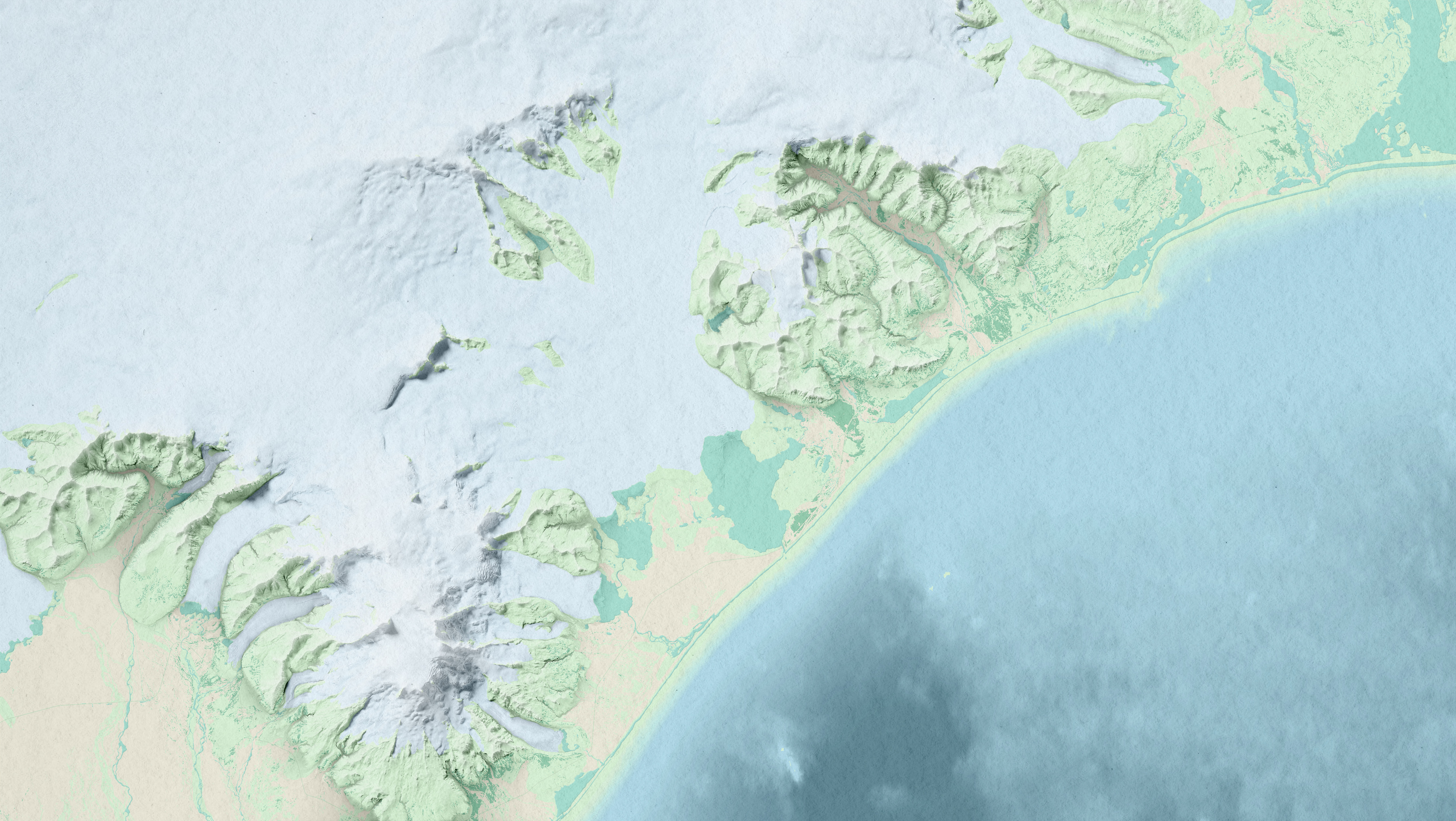
A topographic map in natural colours showing a road trip I made in the region of Austurland, Iceland, in 2022.
It includes the main roads and settlements, elevation lines and the highest peaks, keeping it as simple as possible so the information doesn't interfere with the base map.
It includes the main roads and settlements, elevation lines and the highest peaks, keeping it as simple as possible so the information doesn't interfere with the base map.
The entire map was created in QGIS using high-resolution elevation data from the ÍslandsDEM project, which provides a detailed representation of Iceland's terrain.
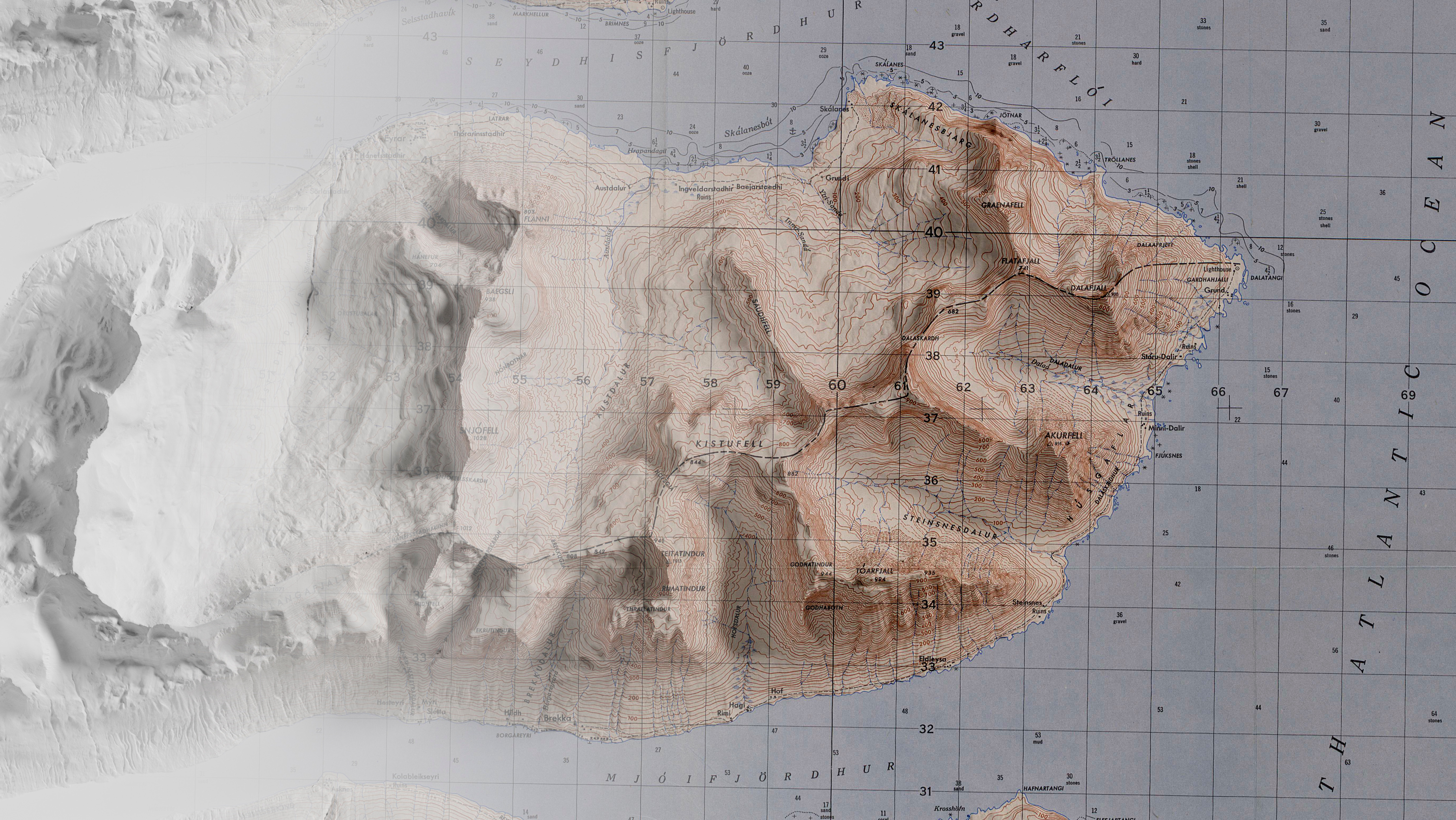
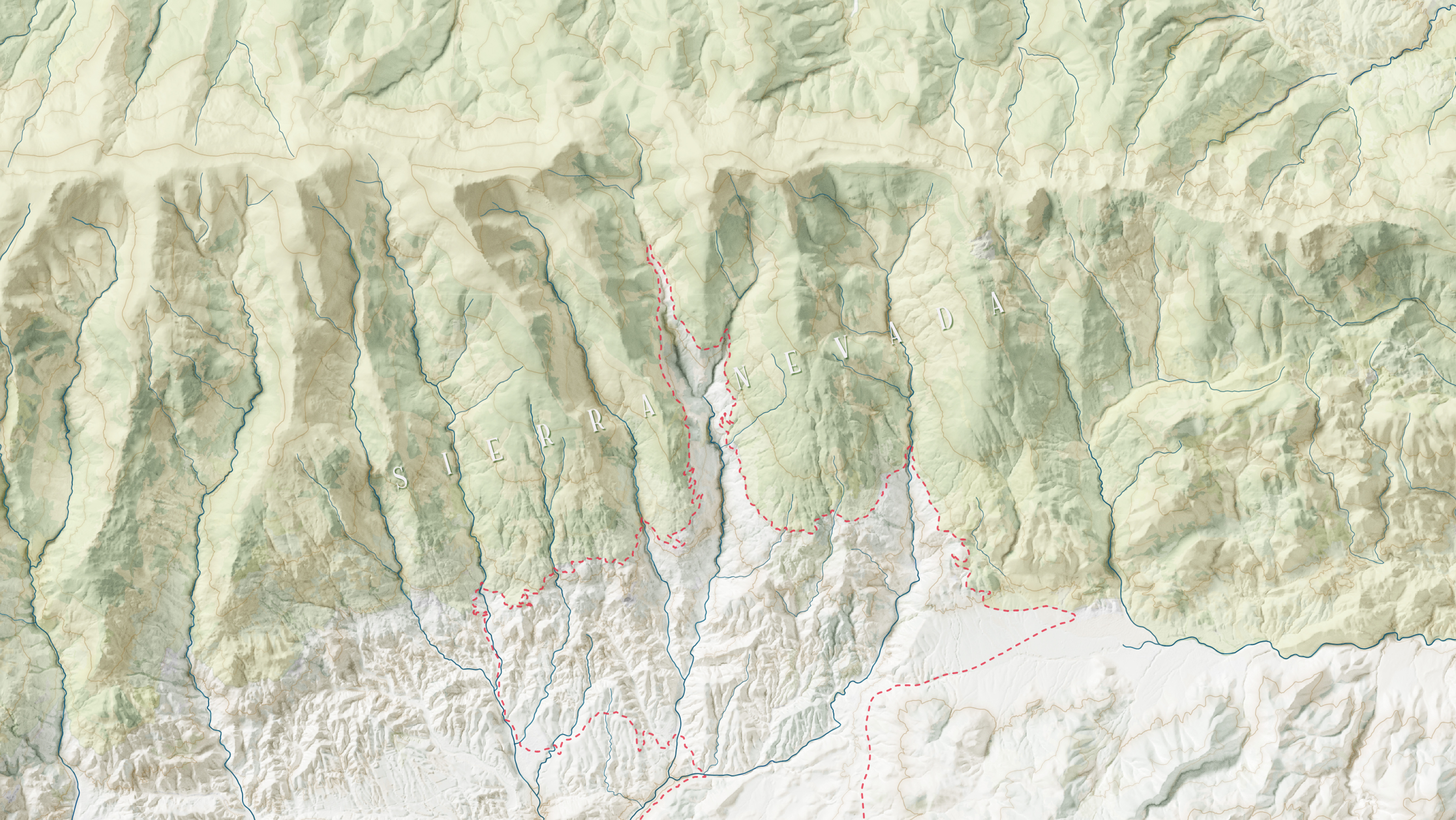
To enhance the visualization of hills and slopes, I used a combination of multidirectional hillshades and sky-view factor. Additionally, a coloured hillshade layer was applied to further accentuate the topographic features.
To enhance the visualization of hills and slopes, I used a combination of multidirectional hillshades and sky-view factor. Additionally, a coloured hillshade layer was applied to further accentuate the topographic features.
The result is a visually appealing and informative map that effectively communicates the geography of the region while maintaining a clean and uncluttered appearance.
