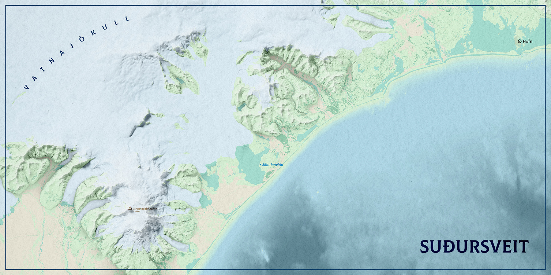
After a few months living in one of the most scenic regions of Iceland, I started this project to showcase the beauty of Suðursveit.
At the same time, I wanted to experiment with a different workflow and tools: all the raw data was edited directly in Photoshop, layer by layer, loosely based on this walkthrough by Daniel Huffman.
The map combines several land cover layers, shaded relief, texture shading, various blending modes, adjustment layers, and minimal labelling. Since the goal was to create a picture (a postcard, perhaps, hence the title) of the region, I decided to omit the scale bar and north arrow.
The animation below illustrates how all this data is combined in Photoshop.